 vesseltracker.com
 Abdul Hamid
Current Status
Where is the vessel?
Abdul Hamid is currently in 54 nm SE of BITUNG, based on AIS data received about 9h ago.
Latest AIS update:
Current position: 0.94701° N, 125.91640° E (54 nm SE of BITUNG)
Average speed (last 7 days): Loading…
Average speed (last 30 days): Loading…
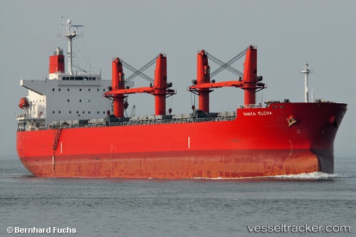
Vessel profile: Abdul Hamid is a Bulk Carrier with dimensions 190m x 32m.
This page combines live AIS, route history, probable destination signals, nearby traffic, and port activity for practical vessel monitoring.
The current position of vessel Abdul Hamid is 0.94701 lat / 125.91640 lng. Updated: 2026-05-13 15:27:38 UTCNearest reference points:
- Near BITUNG
- Near TERNATE
- 13 nm NE of WEDA
Currently sailing under the flag of Indonesia ![]()
Abdul Hamid built in 2005 year
Deadweight:
56011 tDetails:
Live Vessel Abdul Hamid Analytics (details, animations, etc.)
Recent AIS points (UTC):
2026-05-13 15:27:38 UTC · 0.94701, 125.91640 · SOG 10.6 kn · COG 148°2026-05-13 15:27:38 UTC · 0.94701, 125.91640 · SOG 10.6 kn · COG 148°
2026-05-13 15:27:38 UTC · 0.94701, 125.91640 · SOG 10.6 kn · COG 148°
2026-05-13 15:27:38 UTC · 0.94701, 125.91640 · SOG 10.6 kn · COG 148°