 vesseltracker.com
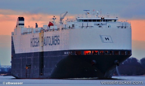
 JIUYANG BONANZA
Current Status
Where is the vessel?
JIUYANG BONANZA is currently in 48 nm SW of Gageohyangri, based on AIS data received about 1h ago.
Latest AIS update:
Current position: 33.40727° N, 124.53420° E (48 nm SW of Gageohyangri)
Average speed (last 7 days): Loading…
Average speed (last 30 days): Loading…
Vessel profile: JIUYANG BONANZA is a Vehicles Carrier with dimensions m x m.
This page combines live AIS, route history, probable destination signals, nearby traffic, and port activity for practical vessel monitoring.
The current position of vessel JIUYANG BONANZA is 33.40727 lat / 124.53420 lng. Updated: 2026-05-16 12:04:00 UTCNearest reference points:
- 61 nm S of Gageohyangri
- 47 nm W of Hallim
- 96 nm SW of Hwasun
Currently sailing under the flag of Marshall Islands ![]()
Details:
Live Vessel JIUYANG BONANZA Analytics (details, animations, etc.)
Recent AIS points (UTC):
2026-05-16 07:21:08 UTC · 34.29919, 125.41170 · SOG 15.2 kn · COG 258°2026-05-16 09:18:00 UTC · 34.05801, 124.91520 · SOG 15.9 kn · COG 216°
2026-05-16 10:39:00 UTC · 33.76192, 124.66957 · SOG 16 kn · COG 212°
2026-05-16 12:04:00 UTC · 33.40727, 124.53420 · SOG 15.2 kn · COG 195°