 vesseltracker.com
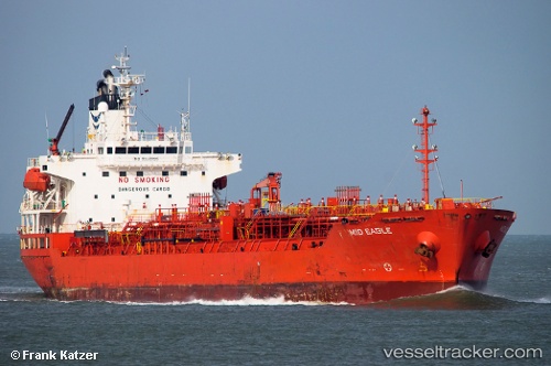
 DING HENG 45
Current Status
Where is the vessel?
DING HENG 45 is currently in 98 nm E of Xijiang, based on AIS data received about 1h ago.
Latest AIS update:
Current position: 21.16833° N, 116.61333° E (98 nm E of Xijiang)
Average speed (last 7 days): Loading…
Average speed (last 30 days): Loading…
Vessel profile: DING HENG 45 is a Oil/Chemical Tanker with dimensions m x m.
This page combines live AIS, route history, probable destination signals, nearby traffic, and port activity for practical vessel monitoring.
The current position of vessel DING HENG 45 is 21.16833 lat / 116.61333 lng. Updated: 2026-05-16 10:18:35 UTCNearest reference points:
- 64 nm SE of Jiazi
- 53 nm S of Jiazi
- 148 nm SE of Xijiang
Currently sailing under the flag of Hong Kong ![]()
Details:
Live Vessel DING HENG 45 Analytics (details, animations, etc.)
Recent AIS points (UTC):
2026-05-16 07:35:36 UTC · 21.55667, 116.90167 · SOG 10 kn · COG -1°2026-05-16 07:35:36 UTC · 21.55667, 116.90167 · SOG 10 kn · COG -1°
2026-05-16 10:12:35 UTC · 21.18333, 116.62500 · SOG 11 kn · COG -1°
2026-05-16 10:18:35 UTC · 21.16833, 116.61333 · SOG 10 kn · COG -1°