 vesseltracker.com
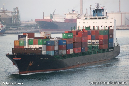
 TANGER A
Current Status
Where is the vessel?
TANGER A is currently in Near Casablanca, based on AIS data received less than 1h ago.
Latest AIS update:
Current position: 33.73430° N, 7.67610° W (Near Casablanca)
Average speed (last 7 days): Loading…
Average speed (last 30 days): Loading…
Vessel profile: TANGER A is a Container Ship with dimensions m x m.
This page combines live AIS, route history, probable destination signals, nearby traffic, and port activity for practical vessel monitoring.
The current position of vessel TANGER A is 33.73430 lat / -7.67610 lng. Updated: 2026-05-16 12:10:35 UTCNearest reference points:
- Near Mohammedia
- 54 nm N of El Jadida
- Near Jorf Lasfar
Currently sailing under the flag of Morocco ![]()
Details:
Live Vessel TANGER A Analytics (details, animations, etc.)
Recent AIS points (UTC):
2026-05-16 07:47:13 UTC · 33.73477, -7.67554 · SOG 0.3 kn · COG 304°2026-05-16 10:04:37 UTC · 33.73454, -7.67613 · SOG 0 kn · COG 302°
2026-05-16 10:10:36 UTC · 33.73438, -7.67618 · SOG 0.1 kn · COG 308°
2026-05-16 12:10:35 UTC · 33.73430, -7.67610 · SOG 0.2 kn · COG 319°