 vesseltracker.com
 Guadalupe
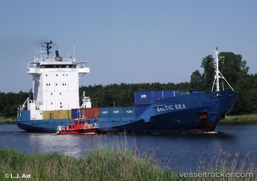
Current Status
Where is the vessel?
Guadalupe is currently in 91 nm NE of Auas, based on AIS data received less than 1h ago.
Latest AIS update:
Current position: 16.07724° N, 82.88839° W (91 nm NE of Auas)
Average speed (last 7 days): Loading…
Average speed (last 30 days): Loading…
Vessel profile: Guadalupe is a General Cargo Ship with dimensions 100m x 17m.
This page combines live AIS, route history, probable destination signals, nearby traffic, and port activity for practical vessel monitoring.
The current position of vessel Guadalupe is 16.07724 lat / -82.88839 lng. Updated: 2026-05-15 11:13:16 UTCCurrently sailing under the flag of Cyprus ![]()
Guadalupe built in 2005 year
Deadweight:
4715 tDetails:
Live Vessel Guadalupe Analytics (details, animations, etc.)
Recent AIS points (UTC):
2026-05-15 07:58:51 UTC · 15.46050, -82.58101 · SOG 13.1 kn · COG 312°2026-05-15 09:32:22 UTC · 15.74448, -82.75556 · SOG 12.9 kn · COG 340°
2026-05-15 09:32:22 UTC · 15.74448, -82.75556 · SOG 12.9 kn · COG 340°
2026-05-15 11:13:16 UTC · 16.07724, -82.88839 · SOG 12.4 kn · COG 340°