 vesseltracker.com
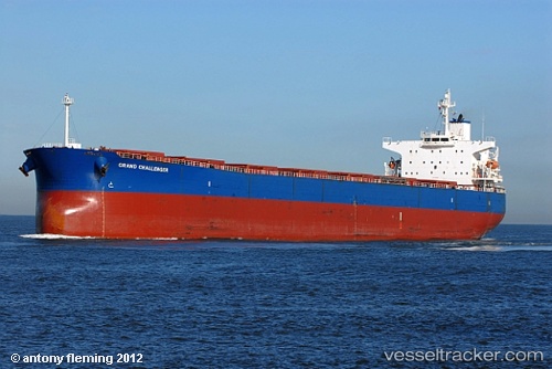
 JUN YUAN
Current Status
Where is the vessel?
JUN YUAN is currently in 297 nm W of Bernal, based on AIS data received less than 1h ago.
Latest AIS update:
Current position: 34.96167° S, 44.27833° W (297 nm W of Bernal)
Average speed (last 7 days): Loading…
Average speed (last 30 days): Loading…
Vessel profile: JUN YUAN is a Bulk Carrier with dimensions m x m.
This page combines live AIS, route history, probable destination signals, nearby traffic, and port activity for practical vessel monitoring.
The current position of vessel JUN YUAN is -34.96167 lat / -44.27833 lng. Updated: 2026-05-16 11:32:38 UTCNearest reference points:
- Open sea, approx. 402 nm off the nearest listed port
- Open sea, approx. 403 nm off the nearest listed port
Currently sailing under the flag of Bahamas ![]()
Details:
Live Vessel JUN YUAN Analytics (details, animations, etc.)
Recent AIS points (UTC):
2026-05-16 08:02:33 UTC · -34.97667, -43.46333 · SOG 11 kn · COG -1°2026-05-16 09:50:58 UTC · -34.97764, -43.87356 · SOG 11.2 kn · COG 272°
2026-05-16 10:43:59 UTC · -34.97175, -44.08212 · SOG 11.7 kn · COG 271°
2026-05-16 11:32:38 UTC · -34.96167, -44.27833 · SOG 12 kn · COG -1°