 vesseltracker.com
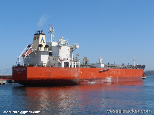
 ELLORA
Current Status
Where is the vessel?
ELLORA is currently in 49 nm NW of Erdemir, based on AIS data received about 1h ago.
Latest AIS update:
Current position: 42.01500° N, 30.94667° E (49 nm NW of Erdemir)
Average speed (last 7 days): Loading…
Average speed (last 30 days): Loading…
Vessel profile: ELLORA is a Chemical Oil Products Tanker with dimensions 32m x 183m.
This page combines live AIS, route history, probable destination signals, nearby traffic, and port activity for practical vessel monitoring.
The current position of vessel ELLORA is 42.01500 lat / 30.94667 lng. Updated: 2026-05-14 20:47:13 UTCNearest reference points:
- Near Erdemir
- 45 nm N of RUMELI FENERI
- 19 nm NE of RUMELI FENERI
Currently sailing under the flag of Panama ![]()
ELLORA built in 0 year
Deadweight:
0 tDetails:
Live Vessel ELLORA Analytics (details, animations, etc.)
Recent AIS points (UTC):
2026-05-14 14:11:11 UTC · 42.42667, 32.59833 · SOG 12 kn · COG -1°2026-05-14 19:39:54 UTC · 42.08320, 31.22456 · SOG 11.3 kn · COG 249°
2026-05-14 19:49:25 UTC · 42.07335, 31.18665 · SOG 11.4 kn · COG 248°
2026-05-14 20:47:13 UTC · 42.01500, 30.94667 · SOG 11 kn · COG -1°