 vesseltracker.com
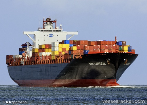
Brighton
Current StatusWhere is the vessel?
Brighton is currently in 126 nm W of Cap Skiring, based on AIS data received less than 1h ago.
Latest AIS update:
Current position: 12.40945° N, 18.90285° W (126 nm W of Cap Skiring)
Average speed (last 7 days): Loading…
Average speed (last 30 days): Loading…
Vessel profile: Brighton is a Container Ship with dimensions 40m x 293m.
This page combines live AIS, route history, probable destination signals, nearby traffic, and port activity for practical vessel monitoring.
The current position of vessel Brighton is 12.40945 lat / -18.90285 lng. Updated: 2026-05-14 16:30:15 UTCNearest reference points:
- 48 nm W of Cap Skiring
- Near Banjul
- 144 nm SW of Bubaque
Details:
Live Vessel Brighton Analytics (details, animations, etc.)
Recent AIS points (UTC):
2026-05-14 13:37:43 UTC · 13.06418, -18.90308 · SOG 13.8 kn · COG 180°2026-05-14 14:03:55 UTC · 12.96408, -18.90157 · SOG 13.6 kn · COG 180°
2026-05-14 15:32:23 UTC · 12.62667, -18.90743 · SOG 13.6 kn · COG 178°
2026-05-14 16:30:15 UTC · 12.40945, -18.90285 · SOG 13.4 kn · COG 181°