 vesseltracker.com
 LE HAVRE EXPRESS
Current Status
Where is the vessel?
LE HAVRE EXPRESS is currently in 87 nm NE of Veracruz, based on AIS data received less than 1h ago.
Latest AIS update:
Current position: 20.07479° N, 94.90115° W (87 nm NE of Veracruz)
Average speed (last 7 days): Loading…
Average speed (last 30 days): Loading…
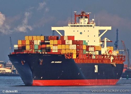
Vessel profile: LE HAVRE EXPRESS is a Container Ship with dimensions 293m x 40m.
This page combines live AIS, route history, probable destination signals, nearby traffic, and port activity for practical vessel monitoring.
The current position of vessel LE HAVRE EXPRESS is 20.07479 lat / -94.90115 lng. Updated: 2026-05-14 00:10:11 UTCNearest reference points:
- Near Veracruz
- Near Coatzacoalcos
- 25 nm E of Tuxpan
Currently sailing under the flag of Liberia ![]()
LE HAVRE EXPRESS built in 2009 year
Deadweight:
72982 tDetails:
Live Vessel LE HAVRE EXPRESS Analytics (details, animations, etc.)
Recent AIS points (UTC):
2026-05-13 20:17:56 UTC · 20.69641, -93.81025 · SOG 18.4 kn · COG 240°2026-05-13 21:42:35 UTC · 20.47381, -94.20578 · SOG 18.7 kn · COG 238°
2026-05-13 22:27:14 UTC · 20.35397, -94.41934 · SOG 19 kn · COG 238°
2026-05-14 00:10:11 UTC · 20.07479, -94.90115 · SOG 18.5 kn · COG 242°