 vesseltracker.com
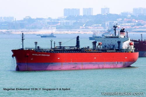
 AMARA
AMARA
Current Status
Where is the vessel?
AMARA is currently in Near Gaolan, based on AIS data received less than 1h ago.
Latest AIS update:
Current position: 21.89456° N, 113.22745° E (Near Gaolan)
Average speed (last 7 days): Loading…
Average speed (last 30 days): Loading…
Vessel profile: AMARA is a Oil/Chemical Tanker with dimensions m x m.
This page combines live AIS, route history, probable destination signals, nearby traffic, and port activity for practical vessel monitoring.
The current position of vessel AMARA is 21.89456 lat / 113.22745 lng. Updated: 2026-05-15 13:21:27 UTCNearest reference points:
- Near Gaolan
- Near ZHUHAI
- 15 nm S of Gaolan
Currently sailing under the flag of Liberia ![]()
Details:
Live Vessel AMARA Analytics (details, animations, etc.)
Recent AIS points (UTC):
2026-05-15 10:24:21 UTC · 21.89459, 113.22748 · SOG 0 kn · COG 70°2026-05-15 11:00:24 UTC · 21.89462, 113.22748 · SOG 0 kn · COG 70°
2026-05-15 11:36:25 UTC · 21.89459, 113.22744 · SOG 0 kn · COG 70°
2026-05-15 13:21:27 UTC · 21.89456, 113.22745 · SOG 0 kn · COG 70°