 vesseltracker.com
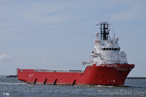
Sancar
Current StatusWhere is the vessel?
Sancar is currently in 103 nm E of El Maan, based on AIS data received less than 1h ago.
Latest AIS update:
Current position: 2.47167° N, 47.29167° E (103 nm E of El Maan)
Average speed (last 7 days): Loading…
Average speed (last 30 days): Loading…
Vessel profile: Sancar is a Offshore Tug Supply Ship with dimensions 16m x 74m.
This page combines live AIS, route history, probable destination signals, nearby traffic, and port activity for practical vessel monitoring.
The current position of vessel Sancar is 2.47167 lat / 47.29167 lng. Updated: 2026-05-14 17:55:04 UTCNearest reference points:
- 122 nm SE of El Maan
Details:
Live Vessel Sancar Analytics (details, animations, etc.)
Recent AIS points (UTC):
2026-05-14 14:10:05 UTC · 2.71833, 47.68167 · SOG 6 kn · COG -1°2026-05-14 15:49:53 UTC · 2.61225, 47.50841 · SOG 7.2 kn · COG 240°
2026-05-14 16:25:02 UTC · 2.57333, 47.44833 · SOG 8 kn · COG -1°
2026-05-14 17:55:04 UTC · 2.47167, 47.29167 · SOG 8 kn · COG -1°