 vesseltracker.com
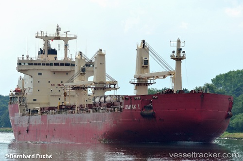
Umiak I
Current StatusWhere is the vessel?
Umiak I is currently in Near QUEBEC, based on AIS data received about 1h ago.
Latest AIS update:
Current position: 46.79527° N, 71.21931° W (Near QUEBEC)
Average speed (last 7 days): Loading…
Average speed (last 30 days): Loading…
Vessel profile: Umiak I is a Bulk Carrier with dimensions 27m x 188m.
This page combines live AIS, route history, probable destination signals, nearby traffic, and port activity for practical vessel monitoring.
The current position of vessel Umiak I is 46.79527 lat / -71.21931 lng. Updated: 2026-05-14 11:24:41 UTCNearest reference points:
- Near QUEBEC
- Near Ile Aux Coudres
- Near Cap-de-la-Madeleine
Details:
Live Vessel Umiak I Analytics (details, animations, etc.)
Recent AIS points (UTC):
2026-05-14 08:00:41 UTC · 46.79527, -71.21932 · SOG 0 kn · COG 54°2026-05-14 10:21:41 UTC · 46.79527, -71.21932 · SOG 0 kn · COG 54°
2026-05-14 10:30:41 UTC · 46.79527, -71.21931 · SOG 0 kn · COG 54°
2026-05-14 11:24:41 UTC · 46.79527, -71.21931 · SOG 0 kn · COG 54°