 vesseltracker.com
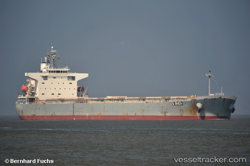
 HONOR STAR
Current Status
Where is the vessel?
HONOR STAR is currently in 61 nm N of Ad Dakhla, based on AIS data received about 1h ago.
Latest AIS update:
Current position: 24.66057° N, 16.31048° W (61 nm N of Ad Dakhla)
Average speed (last 7 days): Loading…
Average speed (last 30 days): Loading…
Vessel profile: HONOR STAR is a Bulk Carrier with dimensions 225m x 33m.
This page combines live AIS, route history, probable destination signals, nearby traffic, and port activity for practical vessel monitoring.
The current position of vessel HONOR STAR is 24.66057 lat / -16.31048 lng. Updated: 2026-05-14 23:45:10 UTCNearest reference points:
- 68 nm NW of Ad Dakhla
- Near DAKHLA
- 110 nm NE of Las Brujas
Currently sailing under the flag of Panama ![]()
HONOR STAR built in 2007 year
Deadweight:
76939 tDetails:
Live Vessel HONOR STAR Analytics (details, animations, etc.)
Recent AIS points (UTC):
2026-05-14 19:43:25 UTC · 25.32888, -16.06288 · SOG 9.8 kn · COG 196°2026-05-14 22:22:39 UTC · 24.89543, -16.22477 · SOG 10.7 kn · COG 197°
2026-05-14 22:52:17 UTC · 24.81052, -16.25570 · SOG 10.7 kn · COG 196°
2026-05-14 23:45:10 UTC · 24.66057, -16.31048 · SOG 10.6 kn · COG 196°