 vesseltracker.com
 AM OCEAN STAR
Current Status
Where is the vessel?
AM OCEAN STAR is currently in 54 nm S of Seogwipo, based on AIS data received less than 1h ago.
Latest AIS update:
Current position: 32.32833° N, 126.54500° E (54 nm S of Seogwipo)
Average speed (last 7 days): Loading…
Average speed (last 30 days): Loading…
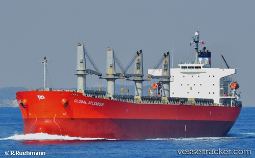
Vessel profile: AM OCEAN STAR is a Bulk Carrier with dimensions 190m x 32m.
This page combines live AIS, route history, probable destination signals, nearby traffic, and port activity for practical vessel monitoring.
The current position of vessel AM OCEAN STAR is 32.32833 lat / 126.54500 lng. Updated: 2026-05-14 19:51:54 UTCNearest reference points:
- 75 nm S of Hwasun
- 66 nm S of Hwasun
- 22 nm S of Seogwipo
Currently sailing under the flag of Marshall Islands ![]()
AM OCEAN STAR built in 2006 year
Deadweight:
52484 tDetails:
Live Vessel AM OCEAN STAR Analytics (details, animations, etc.)
Recent AIS points (UTC):
2026-05-14 16:54:51 UTC · 32.78833, 126.88833 · SOG 10 kn · COG -1°2026-05-14 17:06:49 UTC · 32.75667, 126.86500 · SOG 10 kn · COG -1°
2026-05-14 19:06:51 UTC · 32.44833, 126.62833 · SOG 11 kn · COG -1°
2026-05-14 19:51:54 UTC · 32.32833, 126.54500 · SOG 10 kn · COG -1°