 vesseltracker.com
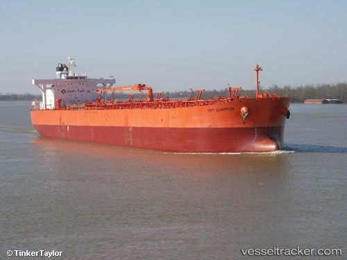
 Lillesand
Current Status
Where is the vessel?
Lillesand is currently in Near Ancona, based on AIS data received about 1h ago.
Latest AIS update:
Current position: 43.74432° N, 13.51698° E (Near Ancona)
Average speed (last 7 days): Loading…
Average speed (last 30 days): Loading…
Vessel profile: Lillesand is a Crude Oil Tanker with dimensions 239m x 42m.
This page combines live AIS, route history, probable destination signals, nearby traffic, and port activity for practical vessel monitoring.
The current position of vessel Lillesand is 43.74432 lat / 13.51698 lng. Updated: 2026-04-28 08:13:16 UTCNearest reference points:
- Near Fano
- Near Gabicce Mare
- 19 nm E of Pedaso
Currently sailing under the flag of Bahamas ![]()
Lillesand built in 2007 year
Deadweight:
105786 tDetails:
Live Vessel Lillesand Analytics (details, animations, etc.)
Recent AIS points (UTC):
2026-04-28 04:50:25 UTC · 43.74487, 13.51699 · SOG 0 kn · COG 93°2026-04-28 05:59:26 UTC · 43.74410, 13.51708 · SOG 0 kn · COG 78°
2026-04-28 08:02:26 UTC · 43.74443, 13.51702 · SOG 0 kn · COG 83°
2026-04-28 08:13:16 UTC · 43.74432, 13.51698 · SOG 0 kn · COG 80°