 vesseltracker.com
 THE RULER
Current Status
Where is the vessel?
THE RULER is currently in Near Duqm, based on AIS data received about 1h ago.
Latest AIS update:
Current position: 19.66241° N, 57.71605° E (Near Duqm)
Average speed (last 7 days): Loading…
Average speed (last 30 days): Loading…
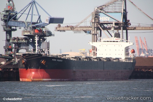
Vessel profile: THE RULER is a Bulk Carrier with dimensions 32m x 225m.
This page combines live AIS, route history, probable destination signals, nearby traffic, and port activity for practical vessel monitoring.
The current position of vessel THE RULER is 19.66241 lat / 57.71605 lng. Updated: 2026-05-14 14:07:20 UTCNearest reference points:
- Near Duqm
- Near AL DUQM
- 39 nm SE of Pizhou
Currently sailing under the flag of Panama ![]()
THE RULER built in 2007 year
Deadweight:
75356 tDetails:
Live Vessel THE RULER Analytics (details, animations, etc.)
Recent AIS points (UTC):
2026-05-14 10:43:19 UTC · 19.66242, 57.71600 · SOG 0 kn · COG -1°2026-05-14 11:28:22 UTC · 19.66241, 57.71605 · SOG 0 kn · COG -1°
2026-05-14 13:52:18 UTC · 19.66242, 57.71604 · SOG 0 kn · COG -1°
2026-05-14 14:07:20 UTC · 19.66241, 57.71605 · SOG 0 kn · COG -1°