 vesseltracker.com
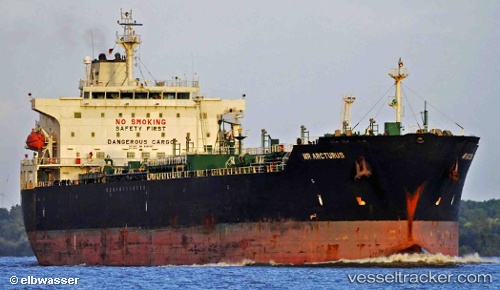
 SENTINEL
Current Status
Where is the vessel?
SENTINEL is currently in 258 nm W of Ile Desroches, based on AIS data received less than 1h ago.
Latest AIS update:
Current position: 6.68801° S, 49.47498° E (258 nm W of Ile Desroches)
Average speed (last 7 days): Loading…
Average speed (last 30 days): Loading…
Vessel profile: SENTINEL is a Oil/Chemical Tanker with dimensions m x m.
This page combines live AIS, route history, probable destination signals, nearby traffic, and port activity for practical vessel monitoring.
The current position of vessel SENTINEL is -6.68801 lat / 49.47498 lng. Updated: 2026-05-14 04:00:29 UTCNearest reference points:
- 219 nm W of Ile Desroches
- 118 nm W of Ile Desroches
- Open sea, approx. 400 nm off the nearest listed port
Currently sailing under the flag of Antigua and Barbuda ![]()
Details:
Live Vessel SENTINEL Analytics (details, animations, etc.)
Recent AIS points (UTC):
2026-05-13 23:41:56 UTC · -6.17948, 49.79547 · SOG 8.2 kn · COG 205°2026-05-14 01:40:00 UTC · -6.41127, 49.65312 · SOG 8.2 kn · COG 204°
2026-05-14 02:53:44 UTC · -6.55662, 49.56228 · SOG 8.3 kn · COG 210°
2026-05-14 04:00:29 UTC · -6.68801, 49.47498 · SOG 8.3 kn · COG 207°