 vesseltracker.com
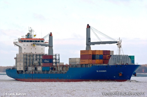
Galani
Current StatusWhere is the vessel?
Galani is currently in 163 nm E of Sde Uziyahu, based on AIS data received less than 1h ago.
Latest AIS update:
Current position: 31.31667° N, 31.53667° W (163 nm E of Sde Uziyahu)
Average speed (last 7 days): Loading…
Average speed (last 30 days): Loading…
Vessel profile: Galani is a Container Ship with dimensions 25m x 177m.
This page combines live AIS, route history, probable destination signals, nearby traffic, and port activity for practical vessel monitoring.
The current position of vessel Galani is 31.31667 lat / -31.53667 lng. Updated: 2026-05-14 04:02:56 UTCDetails:
Live Vessel Galani Analytics (details, animations, etc.)
Recent AIS points (UTC):
2026-05-14 01:59:57 UTC · 31.42667, -31.02167 · SOG 13 kn · COG -1°2026-05-14 02:47:57 UTC · 31.38167, -31.22167 · SOG 13 kn · COG -1°
2026-05-14 03:14:55 UTC · 31.35833, -31.33333 · SOG 13 kn · COG -1°
2026-05-14 04:02:56 UTC · 31.31667, -31.53667 · SOG 13 kn · COG -1°