 vesseltracker.com
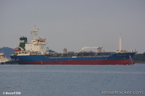
Galaxy Sambu
Current StatusWhere is the vessel?
Galaxy Sambu is currently in 50 nm SW of Hwasun, based on AIS data received about 3h ago.
Latest AIS update:
Current position: 32.88745° N, 125.42938° E (50 nm SW of Hwasun)
Average speed (last 7 days): Loading…
Average speed (last 30 days): Loading…
Vessel profile: Galaxy Sambu is a Chemical Oil Products Tanker with dimensions 14m x 88m.
This page combines live AIS, route history, probable destination signals, nearby traffic, and port activity for practical vessel monitoring.
The current position of vessel Galaxy Sambu is 32.88745 lat / 125.42938 lng. Updated: 2026-05-14 21:19:29 UTCNearest reference points:
- 47 nm W of Hallim
- 61 nm S of Gageohyangri
- Near Hwasun
Details:
Live Vessel Galaxy Sambu Analytics (details, animations, etc.)
Recent AIS points (UTC):
2026-05-14 19:43:08 UTC · 33.09708, 125.68265 · SOG 11.1 kn · COG 225°2026-05-14 21:19:29 UTC · 32.88745, 125.42938 · SOG 11.2 kn · COG 225°
2026-05-14 21:19:29 UTC · 32.88745, 125.42938 · SOG 11.2 kn · COG 225°
2026-05-14 21:19:29 UTC · 32.88745, 125.42938 · SOG 11.2 kn · COG 225°