 vesseltracker.com
 ARCHER
Current Status
Where is the vessel?
ARCHER is currently in 48 nm W of Terempa, based on AIS data received about 1h ago.
Latest AIS update:
Current position: 3.25370° N, 105.42026° E (48 nm W of Terempa)
Average speed (last 7 days): Loading…
Average speed (last 30 days): Loading…
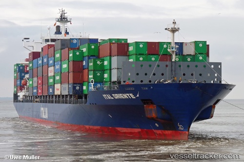
Vessel profile: ARCHER is a Container Ship with dimensions 30m x 227m.
This page combines live AIS, route history, probable destination signals, nearby traffic, and port activity for practical vessel monitoring.
The current position of vessel ARCHER is 3.25370 lat / 105.42026 lng. Updated: 2026-05-15 19:32:21 UTCNearest reference points:
- 39 nm SE of Belida Terminal
- 30 nm SW of Belanak Terminal
- 26 nm E of Belida Terminal
Currently sailing under the flag of Liberia ![]()
ARCHER built in 2007 year
Deadweight:
39269 tDetails:
Live Vessel ARCHER Analytics (details, animations, etc.)
Recent AIS points (UTC):
2026-05-15 16:46:08 UTC · 2.46744, 105.03289 · SOG 18.6 kn · COG 19°2026-05-15 17:40:39 UTC · 2.74267, 105.14047 · SOG 18.6 kn · COG 18°
2026-05-15 18:52:33 UTC · 3.07138, 105.32041 · SOG 18.8 kn · COG 29°
2026-05-15 19:32:21 UTC · 3.25370, 105.42026 · SOG 18.6 kn · COG 29°