 vesseltracker.com
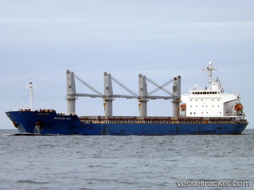
 MANTA SENA
Current Status
Where is the vessel?
MANTA SENA is currently in 12 nm S of Isis, based on AIS data received less than 1h ago.
Latest AIS update:
Current position: 34.43167° N, 12.50833° E (12 nm S of Isis)
Average speed (last 7 days): Loading…
Average speed (last 30 days): Loading…
Vessel profile: MANTA SENA is a General Cargo Ship with dimensions 177m x 28m.
This page combines live AIS, route history, probable destination signals, nearby traffic, and port activity for practical vessel monitoring.
The current position of vessel MANTA SENA is 34.43167 lat / 12.50833 lng. Updated: 2026-05-13 21:48:22 UTCNearest reference points:
- 37 nm E of Didon
- 22 nm NW of Tarabulus
- Near Ksour Essaf
Currently sailing under the flag of Liberia ![]()
MANTA SENA built in 2006 year
Deadweight:
32354 tDetails:
Live Vessel MANTA SENA Analytics (details, animations, etc.)
Recent AIS points (UTC):
2026-05-13 17:18:29 UTC · 34.44582, 12.54805 · SOG 0.4 kn · COG 155°2026-05-13 19:42:22 UTC · 34.44333, 12.52833 · SOG 0 kn · COG -1°
2026-05-13 19:54:24 UTC · 34.44167, 12.52500 · SOG 0 kn · COG -1°
2026-05-13 21:48:22 UTC · 34.43167, 12.50833 · SOG 0 kn · COG -1°