 vesseltracker.com
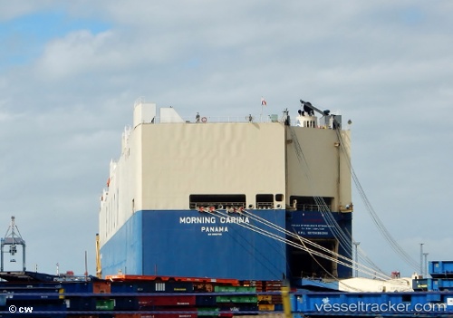
 VIKING CARINA
Current Status
Where is the vessel?
VIKING CARINA is currently in 245 nm E of Diego Garcia, based on AIS data received less than 1h ago.
Latest AIS update:
Current position: 8.82650° S, 76.28735° E (245 nm E of Diego Garcia)
Average speed (last 7 days): Loading…
Average speed (last 30 days): Loading…
Vessel profile: VIKING CARINA is a Vehicles Carrier with dimensions m x m.
This page combines live AIS, route history, probable destination signals, nearby traffic, and port activity for practical vessel monitoring.
The current position of vessel VIKING CARINA is -8.82650 lat / 76.28735 lng. Updated: 2026-05-16 11:49:40 UTCNearest reference points:
- 284 nm E of Diego Garcia
- 208 nm E of Diego Garcia
- Open sea, approx. 400 nm off the nearest listed port
Currently sailing under the flag of Marshall Islands ![]()
Details:
Live Vessel VIKING CARINA Analytics (details, animations, etc.)
Recent AIS points (UTC):
2026-05-16 07:58:28 UTC · -9.57385, 75.34538 · SOG 18.7 kn · COG 52°2026-05-16 10:16:58 UTC · -9.11475, 75.90505 · SOG 18.4 kn · COG 54°
2026-05-16 10:33:46 UTC · -9.06265, 75.97402 · SOG 18.5 kn · COG 54°
2026-05-16 11:49:40 UTC · -8.82650, 76.28735 · SOG 18.3 kn · COG 54°