 vesseltracker.com
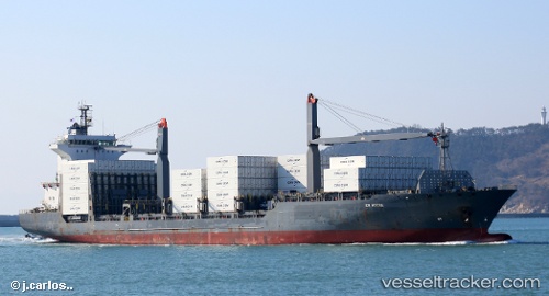
Em Hydra
Current StatusWhere is the vessel?
Em Hydra is currently in Near Antwerp, based on AIS data received about 1h ago.
Latest AIS update:
Current position: 51.26143° N, 4.37601° E (Near Antwerp)
Average speed (last 7 days): Loading…
Average speed (last 30 days): Loading…
Vessel profile: Em Hydra is a Container Ship with dimensions 28m x 175m.
This page combines live AIS, route history, probable destination signals, nearby traffic, and port activity for practical vessel monitoring.
The current position of vessel Em Hydra is 51.26143 lat / 4.37601 lng. Updated: 2026-05-15 19:52:52 UTCNearest reference points:
- Near Antwerp
- Near Kruibeke
- Near Kallo
Details:
Live Vessel Em Hydra Analytics (details, animations, etc.)
Recent AIS points (UTC):
2026-05-15 16:37:53 UTC · 51.26143, 4.37599 · SOG 0 kn · COG 271°2026-05-15 17:52:53 UTC · 51.26147, 4.37598 · SOG 0 kn · COG 271°
2026-05-15 19:07:54 UTC · 51.26142, 4.37598 · SOG 0 kn · COG 271°
2026-05-15 19:52:52 UTC · 51.26143, 4.37601 · SOG 0 kn · COG 271°