 vesseltracker.com
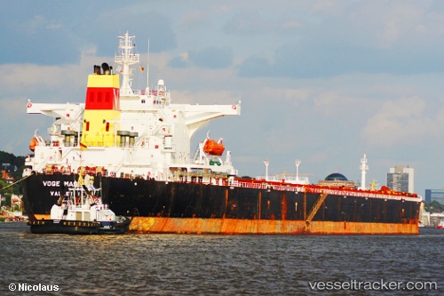
 HIGHLAND
Current Status
Where is the vessel?
HIGHLAND is currently in 129 nm W of LHOKNGA, based on AIS data received less than 1h ago.
Latest AIS update:
Current position: 4.76333° N, 93.20167° E (129 nm W of LHOKNGA)
Average speed (last 7 days): Loading…
Average speed (last 30 days): Loading…
Vessel profile: HIGHLAND is a Bulk Carrier with dimensions m x m.
This page combines live AIS, route history, probable destination signals, nearby traffic, and port activity for practical vessel monitoring.
The current position of vessel HIGHLAND is 4.76333 lat / 93.20167 lng. Updated: 2026-05-14 04:41:39 UTCNearest reference points:
- 172 nm W of LHOKNGA
- 160 nm W of Sebang
- 80 nm W of Sebang
Currently sailing under the flag of Panama ![]()
Details:
Live Vessel HIGHLAND Analytics (details, animations, etc.)
Recent AIS points (UTC):
2026-05-14 01:02:40 UTC · 5.12167, 93.68500 · SOG 9 kn · COG -1°2026-05-14 02:11:44 UTC · 5.01500, 93.53167 · SOG 10 kn · COG -1°
2026-05-14 04:14:33 UTC · 4.81122, 93.26173 · SOG 10.1 kn · COG 231°
2026-05-14 04:41:39 UTC · 4.76333, 93.20167 · SOG 10 kn · COG -1°