 vesseltracker.com
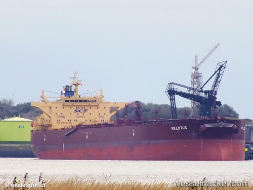
 LAVENDER
Current Status
Where is the vessel?
LAVENDER is currently in 25 nm N of Port Said, based on AIS data received less than 1h ago.
Latest AIS update:
Current position: 31.67488° N, 32.26355° E (25 nm N of Port Said)
Average speed (last 7 days): Loading…
Average speed (last 30 days): Loading…
Vessel profile: LAVENDER is a Crude Oil Tanker with dimensions m x m.
This page combines live AIS, route history, probable destination signals, nearby traffic, and port activity for practical vessel monitoring.
The current position of vessel LAVENDER is 31.67488 lat / 32.26355 lng. Updated: 2026-05-14 21:35:43 UTCNearest reference points:
- 21 nm N of Port Said
- 16 nm N of Port Said
- 15 nm N of Port Said
Currently sailing under the flag of Oman ![]()
Details:
Live Vessel LAVENDER Analytics (details, animations, etc.)
Recent AIS points (UTC):
2026-05-14 18:19:03 UTC · 31.67333, 32.26167 · SOG 0 kn · COG -1°2026-05-14 19:37:04 UTC · 31.67333, 32.26167 · SOG 0 kn · COG -1°
2026-05-14 19:37:04 UTC · 31.67333, 32.26167 · SOG 0 kn · COG -1°
2026-05-14 21:35:43 UTC · 31.67488, 32.26355 · SOG 0 kn · COG 309°