 vesseltracker.com
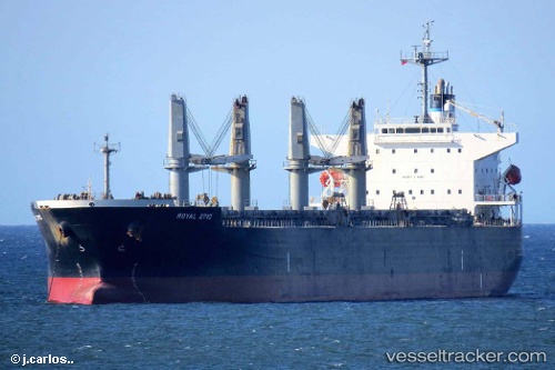
 LGH PROSPER
Current Status
Where is the vessel?
LGH PROSPER is currently in 21 nm S of BAUBAU, based on AIS data received about 1h ago.
Latest AIS update:
Current position: 5.78828° S, 122.67648° E (21 nm S of BAUBAU)
Average speed (last 7 days): Loading…
Average speed (last 30 days): Loading…
Vessel profile: LGH PROSPER is a Bulk Carrier with dimensions 32m x 190m.
This page combines live AIS, route history, probable destination signals, nearby traffic, and port activity for practical vessel monitoring.
The current position of vessel LGH PROSPER is -5.78828 lat / 122.67648 lng. Updated: 2026-05-14 11:59:22 UTCNearest reference points:
- Near BAUBAU
- Near Labuan
- 27 nm SW of Kolaka
Currently sailing under the flag of Indonesia ![]()
LGH PROSPER built in 2008 year
Deadweight:
56026 tDetails:
Live Vessel LGH PROSPER Analytics (details, animations, etc.)
Recent AIS points (UTC):
2026-05-14 07:52:01 UTC · -5.76378, 122.02175 · SOG 9.4 kn · COG 94°2026-05-14 10:26:33 UTC · -5.78178, 122.43313 · SOG 9.6 kn · COG 90°
2026-05-14 11:01:13 UTC · -5.78342, 122.52650 · SOG 9.2 kn · COG 92°
2026-05-14 11:59:22 UTC · -5.78828, 122.67648 · SOG 9.1 kn · COG 90°