 vesseltracker.com
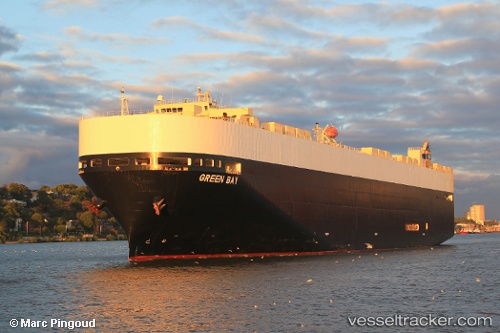
 GREEN BAY
Current Status
Where is the vessel?
GREEN BAY is currently in 47 nm SW of Sanchidrian, based on AIS data received less than 1h ago.
Latest AIS update:
Current position: 40.36805° N, 44.61366° W (47 nm SW of Sanchidrian)
Average speed (last 7 days): Loading…
Average speed (last 30 days): Loading…
Vessel profile: GREEN BAY is a Vehicles Carrier with dimensions m x m.
This page combines live AIS, route history, probable destination signals, nearby traffic, and port activity for practical vessel monitoring.
The current position of vessel GREEN BAY is 40.36805 lat / -44.61366 lng. Updated: 2026-05-14 22:24:03 UTCCurrently sailing under the flag of United States of America ![]()
GREEN BAY built in 2007 year
Deadweight:
18312 tDetails:
Live Vessel GREEN BAY Analytics (details, animations, etc.)
Recent AIS points (UTC):
2026-05-14 19:25:25 UTC · 40.98617, -43.92227 · SOG 16.3 kn · COG 217°2026-05-14 19:45:59 UTC · 40.91405, -43.99842 · SOG 16 kn · COG 221°
2026-05-14 21:39:06 UTC · 40.52319, -44.43932 · SOG 16.6 kn · COG 220°
2026-05-14 22:24:03 UTC · 40.36805, -44.61366 · SOG 16.4 kn · COG 220°