 vesseltracker.com
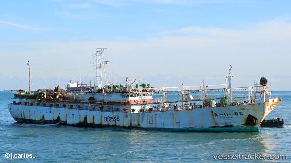
Full Kuo No.101
Current StatusWhere is the vessel?
Full Kuo No.101 is currently in 138 nm NW of Port San Carlos, based on AIS data received about 1h ago.
Latest AIS update:
Current position: 49.65389° S, 61.13957° W (138 nm NW of Port San Carlos)
Average speed (last 7 days): Loading…
Average speed (last 30 days): Loading…
Vessel profile: Full Kuo No.101 is a Fishing Vessel with dimensions 10m x 72m.
This page combines live AIS, route history, probable destination signals, nearby traffic, and port activity for practical vessel monitoring.
The current position of vessel Full Kuo No.101 is -49.65389 lat / -61.13957 lng. Updated: 2026-05-14 17:28:03 UTCDetails:
Live Vessel Full Kuo No.101 Analytics (details, animations, etc.)
Recent AIS points (UTC):
2026-05-14 13:39:51 UTC · -50.08032, -61.85826 · SOG 11.3 kn · COG -1°2026-05-14 15:41:52 UTC · -49.80575, -61.41383 · SOG 12.1 kn · COG -1°
2026-05-14 16:18:57 UTC · -49.72773, -61.26864 · SOG 11.9 kn · COG -1°
2026-05-14 17:28:03 UTC · -49.65389, -61.13957 · SOG 0.6 kn · COG -1°