 vesseltracker.com
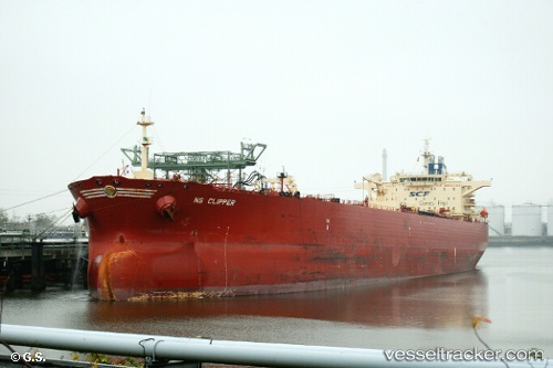
 CARMA
CARMA
Current Status
Where is the vessel?
CARMA is currently in 10 nm NE of VISTINO, based on AIS data received less than 1h ago.
Latest AIS update:
Current position: 59.91358° N, 28.66374° E (10 nm NE of VISTINO)
Average speed (last 7 days): Loading…
Average speed (last 30 days): Loading…
Vessel profile: CARMA is a Crude Oil Tanker with dimensions m x m.
This page combines live AIS, route history, probable destination signals, nearby traffic, and port activity for practical vessel monitoring.
The current position of vessel CARMA is 59.91358 lat / 28.66374 lng. Updated: 2026-05-14 15:42:22 UTCNearest reference points:
- Near VISTINO
- 10 nm NE of VISTINO
- 11 nm NE of VISTINO
Currently sailing under the flag of Oman ![]()
Details:
Live Vessel CARMA Analytics (details, animations, etc.)
Recent AIS points (UTC):
2026-05-14 13:34:01 UTC · 59.91371, 28.66378 · SOG 0 kn · COG 78°2026-05-14 13:39:22 UTC · 59.91376, 28.66379 · SOG 0 kn · COG 80°
2026-05-14 15:42:22 UTC · 59.91358, 28.66374 · SOG 0 kn · COG 70°
2026-05-14 15:42:22 UTC · 59.91358, 28.66374 · SOG 0 kn · COG 70°