 DELOS WAVE
Current Status
Where is the vessel?
DELOS WAVE is currently in 18 nm SE of Conflict Group, based on AIS data received about 15h ago.
Latest AIS update:
Current position: 10.92254° S, 152.07829° E (18 nm SE of Conflict Group)
Average speed (last 7 days): Loading…
Average speed (last 30 days): Loading…
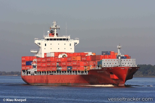
Vessel profile: DELOS WAVE is a Container Ship with dimensions m x m.
This page combines live AIS, route history, probable destination signals, nearby traffic, and port activity for practical vessel monitoring.
The current position of vessel DELOS WAVE is -10.92254 lat / 152.07829 lng. Updated: 2026-05-23 10:53:28 UTCCurrently sailing under the flag of Malta ![]()
Details:
Live Vessel DELOS WAVE Analytics (details, animations, etc.)
Recent AIS points (UTC):
2026-05-23 07:07:53 UTC · -10.02854, 151.69597 · SOG 15.6 kn · COG 170°2026-05-23 08:17:05 UTC · -10.31667, 151.77167 · SOG 15 kn · COG -1°
2026-05-23 09:25:22 UTC · -10.55542, 151.95158 · SOG 16.3 kn · COG 133°
2026-05-23 10:53:28 UTC · -10.92254, 152.07829 · SOG 15.7 kn · COG 164°