 vesseltracker.com
 TAMAR
TAMAR
Current Status
Where is the vessel?
TAMAR is currently in Near Haifa, based on AIS data received less than 1h ago.
Latest AIS update:
Current position: 32.84307° N, 35.00347° E (Near Haifa)
Average speed (last 7 days): Loading…
Average speed (last 30 days): Loading…
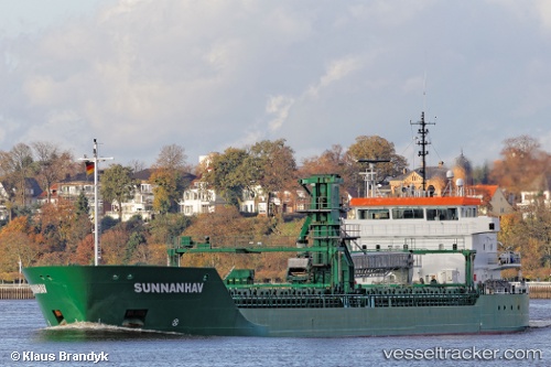
Vessel profile: TAMAR is a General Cargo with dimensions m x m.
This page combines live AIS, route history, probable destination signals, nearby traffic, and port activity for practical vessel monitoring.
The current position of vessel TAMAR is 32.84307 lat / 35.00347 lng. Updated: 2026-05-14 09:33:28 UTCNearest reference points:
- Near Haifa
- 22 nm W of Haifa Granaries
- Near DBAIYEH
Currently sailing under the flag of Liberia ![]()
Details:
Live Vessel TAMAR Analytics (details, animations, etc.)
Recent AIS points (UTC):
2026-05-14 05:58:12 UTC · 32.84320, 35.00343 · SOG 0 kn · COG 251°2026-05-14 07:07:11 UTC · 32.84242, 35.00337 · SOG 0 kn · COG 296°
2026-05-14 07:24:59 UTC · 32.84219, 35.00308 · SOG 0 kn · COG 315°
2026-05-14 09:33:28 UTC · 32.84307, 35.00347 · SOG 0.2 kn · COG 264°