 vesseltracker.com
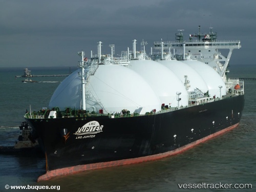
Lng Jupiter
Current StatusWhere is the vessel?
Lng Jupiter is currently in 140 nm W of Ichthys, based on AIS data received about 1h ago.
Latest AIS update:
Current position: 13.54000° S, 120.89667° E (140 nm W of Ichthys)
Average speed (last 7 days): Loading…
Average speed (last 30 days): Loading…
Vessel profile: Lng Jupiter is a Lng Tanker with dimensions 49m x 289m.
This page combines live AIS, route history, probable destination signals, nearby traffic, and port activity for practical vessel monitoring.
The current position of vessel Lng Jupiter is -13.54000 lat / 120.89667 lng. Updated: 2026-04-28 11:42:00 UTCNearest reference points:
- 104 nm S of Waingapu, Sumba
- Near Prelude
Details:
Live Vessel Lng Jupiter Analytics (details, animations, etc.)
Recent AIS points (UTC):
2026-04-28 07:42:18 UTC · -13.88486, 120.62180 · SOG 13.4 kn · COG 212°2026-04-28 09:56:58 UTC · -13.86667, 120.70500 · SOG 12 kn · COG -1°
2026-04-28 10:36:01 UTC · -13.74500, 120.77833 · SOG 12 kn · COG -1°
2026-04-28 11:42:00 UTC · -13.54000, 120.89667 · SOG 12 kn · COG -1°