 vesseltracker.com
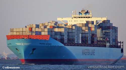
Maersk Antares
Current StatusWhere is the vessel?
Maersk Antares is currently in Near Cai Mep International Terminal, based on AIS data received less than 1h ago.
Latest AIS update:
Current position: 10.51333° N, 107.01167° E (Near Cai Mep International Terminal)
Average speed (last 7 days): Loading…
Average speed (last 30 days): Loading…
Vessel profile: Maersk Antares is a Container Ship with dimensions 46m x 338m.
This page combines live AIS, route history, probable destination signals, nearby traffic, and port activity for practical vessel monitoring.
The current position of vessel Maersk Antares is 10.51333 lat / 107.01167 lng. Updated: 2026-05-14 23:40:48 UTCNearest reference points:
- Near Cai Mep International Terminal
- Near Saigon ITV/Phu My
- Near Cai Mep
Details:
Live Vessel Maersk Antares Analytics (details, animations, etc.)
Recent AIS points (UTC):
2026-05-14 20:13:03 UTC · 10.51496, 107.01281 · SOG 0 kn · COG 27°2026-05-14 22:12:01 UTC · 10.51495, 107.01281 · SOG 0 kn · COG 27°
2026-05-14 22:32:55 UTC · 10.51495, 107.01282 · SOG 0 kn · COG 27°
2026-05-14 23:40:48 UTC · 10.51333, 107.01167 · SOG 0 kn · COG -1°