 vesseltracker.com
Captainyannis L
Current StatusWhere is the vessel?
Captainyannis L is currently in 19 nm S of Jafarabad, based on AIS data received about 1h ago.
Latest AIS update:
Current position: 20.53012° N, 71.37794° E (19 nm S of Jafarabad)
Average speed (last 7 days): Loading…
Average speed (last 30 days): Loading…
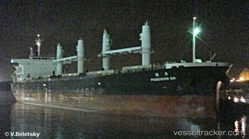
Vessel profile: Captainyannis L is a Bulk Carrier with dimensions 32m x 190m.
This page combines live AIS, route history, probable destination signals, nearby traffic, and port activity for practical vessel monitoring.
The current position of vessel Captainyannis L is 20.53012 lat / 71.37794 lng. Updated: 2026-05-15 17:30:35 UTCNearest reference points:
- Near Jafarabad
- 17 nm SE of Port Pipavav
- Near Port Pipavav
Details:
Live Vessel Captainyannis L Analytics (details, animations, etc.)
Recent AIS points (UTC):
2026-05-15 14:12:59 UTC · 20.52833, 71.37333 · SOG 0 kn · COG -1°2026-05-15 14:48:58 UTC · 20.52833, 71.37667 · SOG 0 kn · COG -1°
2026-05-15 14:48:58 UTC · 20.52833, 71.37667 · SOG 0 kn · COG -1°
2026-05-15 17:30:35 UTC · 20.53012, 71.37794 · SOG 0.2 kn · COG 258°