 vesseltracker.com
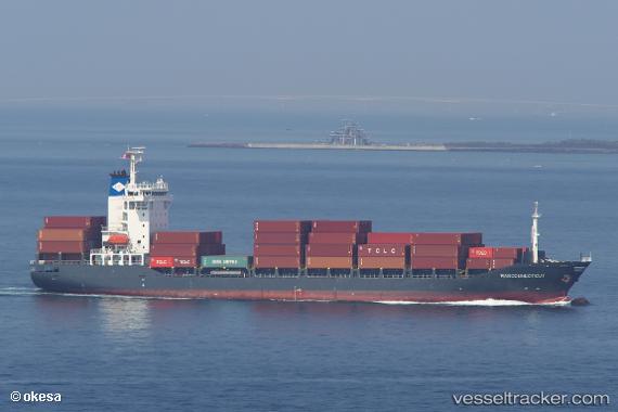
 Marconnecticut
Current Status
Where is the vessel?
Marconnecticut is currently in 17 nm SW of YANGSHAN, based on AIS data received less than 1h ago.
Latest AIS update:
Current position: 30.43188° N, 121.87720° E (17 nm SW of YANGSHAN)
Average speed (last 7 days): Loading…
Average speed (last 30 days): Loading…
Vessel profile: Marconnecticut is a Container Ship with dimensions 143m x 23m.
This page combines live AIS, route history, probable destination signals, nearby traffic, and port activity for practical vessel monitoring.
The current position of vessel Marconnecticut is 30.43188 lat / 121.87720 lng. Updated: 2026-05-16 07:43:43 UTCNearest reference points:
- 22 nm SW of YANGSHAN
- Near YANGSHAN
- 19 nm NW of Majistan/Zhoushan
Currently sailing under the flag of Antigua Barbuda ![]()
Marconnecticut built in 2007 year
Deadweight:
12774 tDetails:
Live Vessel Marconnecticut Analytics (details, animations, etc.)
Recent AIS points (UTC):
2026-05-16 05:01:22 UTC · 29.98845, 121.81960 · SOG 9.1 kn · COG 326°2026-05-16 05:44:22 UTC · 30.09912, 121.80638 · SOG 12.1 kn · COG 359°
2026-05-16 07:14:32 UTC · 30.37387, 121.80463 · SOG 11.4 kn · COG 19°
2026-05-16 07:43:43 UTC · 30.43188, 121.87720 · SOG 10.2 kn · COG 34°