 vesseltracker.com
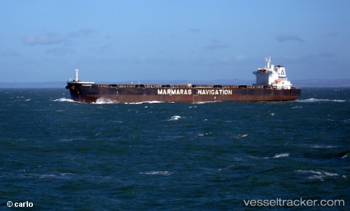
 PERGAMOS
Current Status
Where is the vessel?
PERGAMOS is currently in Near BUKOM ISLAND, based on AIS data received less than 1h ago.
Latest AIS update:
Current position: 1.18250° N, 103.81401° E (Near BUKOM ISLAND)
Average speed (last 7 days): Loading…
Average speed (last 30 days): Loading…
Vessel profile: PERGAMOS is a Bulk Carrier with dimensions 230m x 37m.
This page combines live AIS, route history, probable destination signals, nearby traffic, and port activity for practical vessel monitoring.
The current position of vessel PERGAMOS is 1.18250 lat / 103.81401 lng. Updated: 2026-04-25 10:04:52 UTCNearest reference points:
- Near BUKOM ISLAND
- Near Singapore
- Near Sambu
Currently sailing under the flag of Liberia ![]()
PERGAMOS built in 2007 year
Deadweight:
92832 tDetails:
Live Vessel PERGAMOS Analytics (details, animations, etc.)
Recent AIS points (UTC):
2026-04-25 08:00:36 UTC · 1.28693, 104.17695 · SOG 11.5 kn · COG 256°2026-04-25 08:03:27 UTC · 1.28458, 104.16818 · SOG 11.5 kn · COG 256°
2026-04-25 09:51:37 UTC · 1.20472, 103.85930 · SOG 12.5 kn · COG 241°
2026-04-25 10:04:52 UTC · 1.18250, 103.81401 · SOG 13.6 kn · COG 243°