 vesseltracker.com
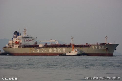
 LUCKY MAY
Current Status
Where is the vessel?
LUCKY MAY is currently in 116 nm W of Dighi (Pune), based on AIS data received about 1h ago.
Latest AIS update:
Current position: 17.64389° N, 71.03897° E (116 nm W of Dighi (Pune))
Average speed (last 7 days): Loading…
Average speed (last 30 days): Loading…
Vessel profile: LUCKY MAY is a Oil Products Tanker with dimensions m x m.
This page combines live AIS, route history, probable destination signals, nearby traffic, and port activity for practical vessel monitoring.
The current position of vessel LUCKY MAY is 17.64389 lat / 71.03897 lng. Updated: 2026-05-14 02:01:37 UTCNearest reference points:
- Near Mumbai
- Near JAIGAD
- Near HNB SEZ/Mumbai
Currently sailing under the flag of Marshall Islands ![]()
Details:
Live Vessel LUCKY MAY Analytics (details, animations, etc.)
Recent AIS points (UTC):
2026-05-13 22:23:37 UTC · 17.16549, 71.56949 · SOG 11.2 kn · COG 315°2026-05-14 00:06:56 UTC · 17.39970, 71.33069 · SOG 11.7 kn · COG 308°
2026-05-14 01:27:47 UTC · 17.56903, 71.12059 · SOG 11.3 kn · COG 315°
2026-05-14 02:01:37 UTC · 17.64389, 71.03897 · SOG 11.3 kn · COG 315°