 vesseltracker.com
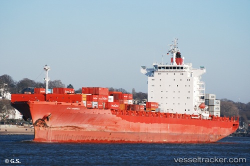
 MSC GENERAL IV
Current Status
Where is the vessel?
MSC GENERAL IV is currently in 65 nm SE of Ruby, based on AIS data received less than 1h ago.
Latest AIS update:
Current position: 9.81846° N, 109.43615° E (65 nm SE of Ruby)
Average speed (last 7 days): Loading…
Average speed (last 30 days): Loading…
Vessel profile: MSC GENERAL IV is a Container Ship with dimensions m x m.
This page combines live AIS, route history, probable destination signals, nearby traffic, and port activity for practical vessel monitoring.
The current position of vessel MSC GENERAL IV is 9.81846 lat / 109.43615 lng. Updated: 2026-05-13 22:03:06 UTCNearest reference points:
- Near Rang Dong
- 156 nm SE of Phan Rang-Tháp Chàm
- 30 nm NW of Bach Ho
Currently sailing under the flag of Liberia ![]()
Details:
Live Vessel MSC GENERAL IV Analytics (details, animations, etc.)
Recent AIS points (UTC):
2026-05-13 17:34:25 UTC · 9.27987, 108.91505 · SOG 9.8 kn · COG 40°2026-05-13 19:21:45 UTC · 9.50015, 109.11887 · SOG 9.8 kn · COG 46°
2026-05-13 20:03:06 UTC · 9.57680, 109.20392 · SOG 9.9 kn · COG 45°
2026-05-13 22:03:06 UTC · 9.81846, 109.43615 · SOG 9.8 kn · COG 26°