 vesseltracker.com
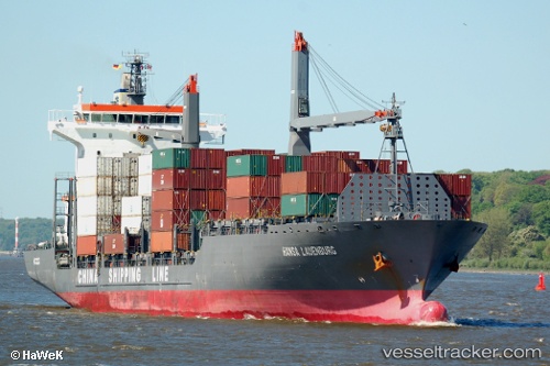
 MAERSK VALENCIA
Current Status
Where is the vessel?
MAERSK VALENCIA is currently in 37 nm SE of Knysna, based on AIS data received less than 1h ago.
Latest AIS update:
Current position: 34.46635° S, 23.59620° E (37 nm SE of Knysna)
Average speed (last 7 days): Loading…
Average speed (last 30 days): Loading…
Vessel profile: MAERSK VALENCIA is a Container Ship with dimensions 175m x 27m.
This page combines live AIS, route history, probable destination signals, nearby traffic, and port activity for practical vessel monitoring.
The current position of vessel MAERSK VALENCIA is -34.46635 lat / 23.59620 lng. Updated: 2026-05-02 11:00:36 UTCNearest reference points:
- Near Mosselbaai
- 16 nm S of Mosselbaai
- 37 nm S of Mosselbaai
Currently sailing under the flag of Singapore ![]()
MAERSK VALENCIA built in 2006 year
Deadweight:
23482 tDetails:
Live Vessel MAERSK VALENCIA Analytics (details, animations, etc.)
Recent AIS points (UTC):
2026-05-02 07:10:57 UTC · -34.42270, 24.24463 · SOG 8.4 kn · COG 262°2026-05-02 08:05:27 UTC · -34.43347, 24.09193 · SOG 8 kn · COG 266°
2026-05-02 10:23:56 UTC · -34.46187, 23.69841 · SOG 8.7 kn · COG 264°
2026-05-02 11:00:36 UTC · -34.46635, 23.59620 · SOG 8.2 kn · COG 261°