 vesseltracker.com
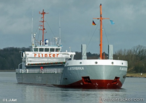
Marjatta
Current StatusWhere is the vessel?
Marjatta is currently in Near Lahesuu, based on AIS data received less than 1h ago.
Latest AIS update:
Current position: 59.45633° N, 24.70244° E (Near Lahesuu)
Average speed (last 7 days): Loading…
Average speed (last 30 days): Loading…
Vessel profile: Marjatta is a General Cargo Ship with dimensions 13m x 83m.
This page combines live AIS, route history, probable destination signals, nearby traffic, and port activity for practical vessel monitoring.
The current position of vessel Marjatta is 59.45633 lat / 24.70244 lng. Updated: 2026-05-17 14:05:15 UTCNearest reference points:
- Near Vanasadam
- Near Aegna
- Near Nurme
Details:
Live Vessel Marjatta Analytics (details, animations, etc.)
Recent AIS points (UTC):
2026-05-17 10:13:18 UTC · 59.45633, 24.70245 · SOG 0 kn · COG 156°2026-05-17 12:14:15 UTC · 59.45631, 24.70237 · SOG 0 kn · COG 244°
2026-05-17 13:44:16 UTC · 59.45631, 24.70234 · SOG 0 kn · COG 244°
2026-05-17 14:05:15 UTC · 59.45633, 24.70244 · SOG 0 kn · COG 244°