 vesseltracker.com
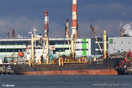
 ANNA ROSE
Current Status
Where is the vessel?
ANNA ROSE is currently in Near Tartous, based on AIS data received about 2h ago.
Latest AIS update:
Current position: 34.92263° N, 35.82847° E (Near Tartous)
Average speed (last 7 days): Loading…
Average speed (last 30 days): Loading…
Vessel profile: ANNA ROSE is a General Cargo with dimensions m x m.
This page combines live AIS, route history, probable destination signals, nearby traffic, and port activity for practical vessel monitoring.
The current position of vessel ANNA ROSE is 34.92263 lat / 35.82847 lng. Updated: 2026-05-17 21:26:22 UTCNearest reference points:
- Near Tartous
- Near Tripoli
- Near Al Ladhiqiyah
Currently sailing under the flag of Saint Kitts and Nevis ![]()
Details:
Live Vessel ANNA ROSE Analytics (details, animations, etc.)
Recent AIS points (UTC):
2026-05-17 19:10:15 UTC · 34.92276, 35.82826 · SOG 0.5 kn · COG 169°2026-05-17 19:28:21 UTC · 34.92280, 35.82818 · SOG 0.4 kn · COG 185°
2026-05-17 21:26:22 UTC · 34.92263, 35.82847 · SOG 4 kn · COG 190°
2026-05-17 21:26:22 UTC · 34.92263, 35.82847 · SOG 4 kn · COG 190°