 vesseltracker.com
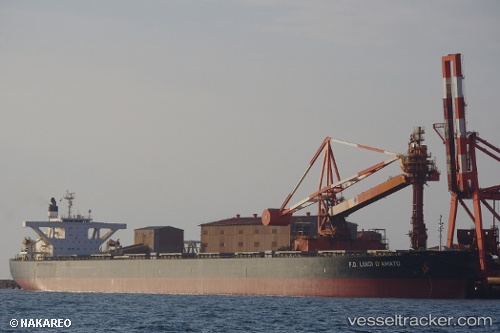
 Irene Ii
Current Status
Where is the vessel?
Irene Ii is currently in 11 nm W of JINHAI HEAVY INDUSTR, based on AIS data received about 10d ago.
Latest AIS update:
Current position: 30.19748° N, 122.05512° E (11 nm W of JINHAI HEAVY INDUSTR)
Average speed (last 7 days): Loading…
Average speed (last 30 days): Loading…
Vessel profile: Irene Ii is a Bulk Carrier with dimensions 289m x 45m.
This page combines live AIS, route history, probable destination signals, nearby traffic, and port activity for practical vessel monitoring.
The current position of vessel Irene Ii is 30.19748 lat / 122.05512 lng. Updated: 2026-05-04 01:41:41 UTCNearest reference points:
- 11 nm N of Majistan/Zhoushan
- Near Majistan/Zhoushan
- Near JINHAI HEAVY INDUSTR
Currently sailing under the flag of Marshall Is ![]()
Irene Ii built in 2006 year
Deadweight:
180184 tDetails:
Live Vessel Irene Ii Analytics (details, animations, etc.)
Recent AIS points (UTC):
2026-05-04 01:32:41 UTC · 30.19747, 122.05512 · SOG 0 kn · COG 314°2026-05-04 01:41:41 UTC · 30.19748, 122.05512 · SOG 0 kn · COG 314°
2026-05-04 01:41:41 UTC · 30.19748, 122.05512 · SOG 0 kn · COG 314°
2026-05-04 01:41:41 UTC · 30.19748, 122.05512 · SOG 0 kn · COG 314°