 vesseltracker.com
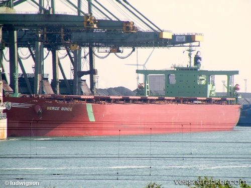
 Cape Merlin
Current Status
Where is the vessel?
Cape Merlin is currently in 385 nm E of Richards Bay, based on AIS data received about 1h ago.
Latest AIS update:
Current position: 29.75185° S, 39.41410° E (385 nm E of Richards Bay)
Average speed (last 7 days): Loading…
Average speed (last 30 days): Loading…
Vessel profile: Cape Merlin is a Ore Carrier with dimensions 300m x 50m.
This page combines live AIS, route history, probable destination signals, nearby traffic, and port activity for practical vessel monitoring.
The current position of vessel Cape Merlin is -29.75185 lat / 39.41410 lng. Updated: 2026-05-14 16:07:06 UTCNearest reference points:
- Open sea, approx. 402 nm off the nearest listed port
- Open sea, approx. 401 nm off the nearest listed port
- Open sea, approx. 400 nm off the nearest listed port
Currently sailing under the flag of Liberia ![]()
Cape Merlin built in 2005 year
Deadweight:
206312 tDetails:
Live Vessel Cape Merlin Analytics (details, animations, etc.)
Recent AIS points (UTC):
2026-05-14 13:31:44 UTC · -29.95273, 38.89812 · SOG 11.4 kn · COG 66°2026-05-14 13:52:59 UTC · -29.92378, 38.96835 · SOG 11.4 kn · COG 67°
2026-05-14 16:00:27 UTC · -29.76077, 39.39287 · SOG 11 kn · COG 66°
2026-05-14 16:07:06 UTC · -29.75185, 39.41410 · SOG 11.1 kn · COG 68°