 vesseltracker.com
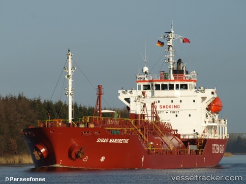
 B Gas Margrethe
Current Status
Where is the vessel?
B Gas Margrethe is currently in 12 nm NW of Westende, based on AIS data received about 1h ago.
Latest AIS update:
Current position: 51.32073° N, 2.55232° E (12 nm NW of Westende)
Average speed (last 7 days): Loading…
Average speed (last 30 days): Loading…
Vessel profile: B Gas Margrethe is a Lpg Tanker with dimensions 100m x 17m.
This page combines live AIS, route history, probable destination signals, nearby traffic, and port activity for practical vessel monitoring.
The current position of vessel B Gas Margrethe is 51.32073 lat / 2.55232 lng. Updated: 2026-04-23 19:51:14 UTCNearest reference points:
- 13 nm NW of Middelkerke
- Near Lombardsijde
- Near Dunkerque
Currently sailing under the flag of Malta ![]()
B Gas Margrethe built in 2006 year
Deadweight:
4970 tDetails:
Live Vessel B Gas Margrethe Analytics (details, animations, etc.)
Recent AIS points (UTC):
2026-04-23 16:10:50 UTC · 51.31826, 2.55248 · SOG 0.1 kn · COG 316°2026-04-23 18:02:32 UTC · 51.32186, 2.55290 · SOG 0.1 kn · COG 259°
2026-04-23 19:41:31 UTC · 51.32108, 2.55290 · SOG 0.1 kn · COG 316°
2026-04-23 19:51:14 UTC · 51.32073, 2.55232 · SOG 0.2 kn · COG 322°