 vesseltracker.com
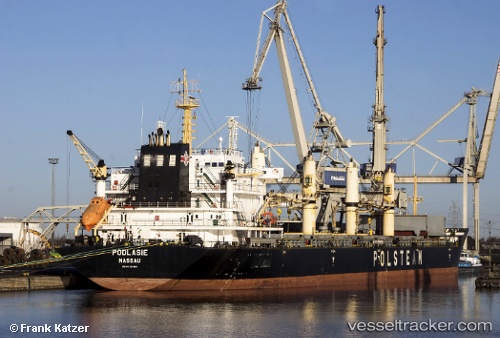
 Podlasie
Current Status
Where is the vessel?
Podlasie is currently in Near Casablanca, based on AIS data received less than 1h ago.
Latest AIS update:
Current position: 33.72347° N, 7.63136° W (Near Casablanca)
Average speed (last 7 days): Loading…
Average speed (last 30 days): Loading…
Vessel profile: Podlasie is a Bulk Carrier with dimensions 190m x 190m.
This page combines live AIS, route history, probable destination signals, nearby traffic, and port activity for practical vessel monitoring.
The current position of vessel Podlasie is 33.72347 lat / -7.63136 lng. Updated: 2026-05-15 03:45:24 UTCNearest reference points:
- Near Mohammedia
- 54 nm N of El Jadida
- Near Jorf Lasfar
Currently sailing under the flag of Bahamas ![]()
Podlasie built in 2008 year
Deadweight:
38071 tDetails:
Live Vessel Podlasie Analytics (details, animations, etc.)
Recent AIS points (UTC):
2026-05-14 22:57:23 UTC · 33.72364, -7.63150 · SOG 0.1 kn · COG 345°2026-05-14 23:45:22 UTC · 33.72341, -7.63164 · SOG 0.2 kn · COG 351°
2026-05-15 01:12:22 UTC · 33.72380, -7.63098 · SOG 0.2 kn · COG 318°
2026-05-15 03:45:24 UTC · 33.72347, -7.63136 · SOG 0.2 kn · COG 335°