 vesseltracker.com
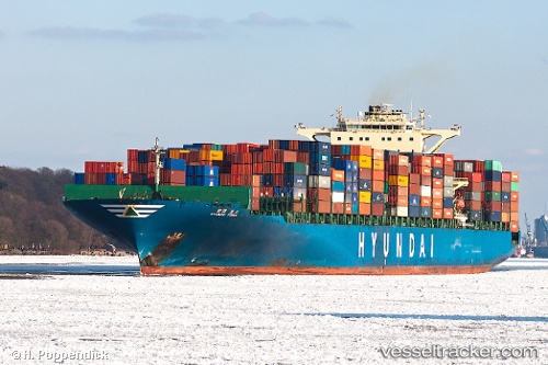
Hyundai Force
Current StatusWhere is the vessel?
Hyundai Force is currently in 15 nm W of Belanak Terminal, based on AIS data received about 1h ago.
Latest AIS update:
Current position: 4.13668° N, 105.98927° E (15 nm W of Belanak Terminal)
Average speed (last 7 days): Loading…
Average speed (last 30 days): Loading…
Vessel profile: Hyundai Force is a Container Ship with dimensions 46m x 339m.
This page combines live AIS, route history, probable destination signals, nearby traffic, and port activity for practical vessel monitoring.
The current position of vessel Hyundai Force is 4.13668 lat / 105.98927 lng. Updated: 2026-04-23 23:28:11 UTCNearest reference points:
- 30 nm SW of Belanak Terminal
- 26 nm E of Belida Terminal
- 39 nm SE of Belida Terminal
Details:
Live Vessel Hyundai Force Analytics (details, animations, etc.)
Recent AIS points (UTC):
2026-04-23 20:02:29 UTC · 3.29263, 105.39650 · SOG 18.1 kn · COG 32°2026-04-23 20:43:13 UTC · 3.46247, 105.51275 · SOG 18 kn · COG 36°
2026-04-23 20:43:13 UTC · 3.46247, 105.51275 · SOG 18 kn · COG 36°
2026-04-23 23:28:11 UTC · 4.13668, 105.98927 · SOG 17.6 kn · COG 37°