 vesseltracker.com
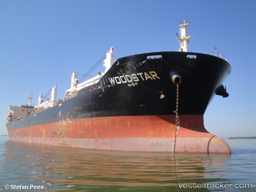
 Safesea Neha Ii
Current Status
Where is the vessel?
Safesea Neha Ii is currently in Near Oso, based on AIS data received less than 1h ago.
Latest AIS update:
Current position: 2.83265° N, 7.83870° E (Near Oso)
Average speed (last 7 days): Loading…
Average speed (last 30 days): Loading…
Vessel profile: Safesea Neha Ii is a Bulk Carrier with dimensions 190m x 190m.
This page combines live AIS, route history, probable destination signals, nearby traffic, and port activity for practical vessel monitoring.
The current position of vessel Safesea Neha Ii is 2.83265 lat / 7.83870 lng. Updated: 2026-05-15 15:32:08 UTCNearest reference points:
- 12 nm SE of Okono
- Near Odudu Terminal
- Near Moudi Terminal
Currently sailing under the flag of Liberia ![]()
Safesea Neha Ii built in 2008 year
Deadweight:
53389 tDetails:
Live Vessel Safesea Neha Ii Analytics (details, animations, etc.)
Recent AIS points (UTC):
2026-05-15 11:44:44 UTC · 3.52184, 7.53001 · SOG 11.9 kn · COG 161°2026-05-15 13:08:16 UTC · 3.26854, 7.63999 · SOG 12.1 kn · COG 161°
2026-05-15 13:31:34 UTC · 3.19556, 7.67061 · SOG 11.8 kn · COG 161°
2026-05-15 15:32:08 UTC · 2.83265, 7.83870 · SOG 11.8 kn · COG 157°