 vesseltracker.com
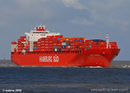
 Rio Madeira
Current Status
Where is the vessel?
Rio Madeira is currently in 21 nm SE of Cheviot, based on AIS data received less than 1h ago.
Latest AIS update:
Current position: 43.02813° S, 173.65466° E (21 nm SE of Cheviot)
Average speed (last 7 days): Loading…
Average speed (last 30 days): Loading…
Vessel profile: Rio Madeira is a Container Ship with dimensions 286m x 40m.
This page combines live AIS, route history, probable destination signals, nearby traffic, and port activity for practical vessel monitoring.
The current position of vessel Rio Madeira is -43.02813 lat / 173.65466 lng. Updated: 2026-05-13 19:49:30 UTCNearest reference points:
- Near Renwick
- Near WAIKAWA
- Near Nelson
Currently sailing under the flag of Singapore ![]()
Rio Madeira built in 2009 year
Deadweight:
80293 tDetails:
Live Vessel Rio Madeira Analytics (details, animations, etc.)
Recent AIS points (UTC):
2026-05-13 16:25:10 UTC · -42.63520, 174.22411 · SOG 10 kn · COG 226°2026-05-13 17:53:11 UTC · -42.80000, 173.97897 · SOG 10.2 kn · COG 226°
2026-05-13 19:23:30 UTC · -42.97619, 173.72832 · SOG 10.1 kn · COG 225°
2026-05-13 19:49:30 UTC · -43.02813, 173.65466 · SOG 10.4 kn · COG 225°