 vesseltracker.com
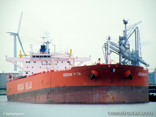
 LUCKY FAIRY
Current Status
Where is the vessel?
LUCKY FAIRY is currently in Near Ras Sudr, based on AIS data received about 13h ago.
Latest AIS update:
Current position: 29.67835° N, 32.61678° E (Near Ras Sudr)
Average speed (last 7 days): Loading…
Average speed (last 30 days): Loading…
Vessel profile: LUCKY FAIRY is a Crude Oil Tanker with dimensions m x m.
This page combines live AIS, route history, probable destination signals, nearby traffic, and port activity for practical vessel monitoring.
The current position of vessel LUCKY FAIRY is 29.67835 lat / 32.61678 lng. Updated: 2026-05-13 07:40:16 UTCNearest reference points:
- Near Ras Sudr
- Near Al Adabiyah
- Near Bur Ibrahim
Currently sailing under the flag of Cameroon ![]()
Details:
Live Vessel LUCKY FAIRY Analytics (details, animations, etc.)
Recent AIS points (UTC):
2026-05-13 07:16:16 UTC · 29.67835, 32.61710 · SOG 0.2 kn · COG 339°2026-05-13 07:40:16 UTC · 29.67835, 32.61678 · SOG 0.1 kn · COG 358°
2026-05-13 07:40:16 UTC · 29.67835, 32.61678 · SOG 0.1 kn · COG 358°
2026-05-13 07:40:16 UTC · 29.67835, 32.61678 · SOG 0.1 kn · COG 358°