 vesseltracker.com
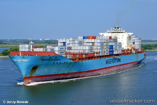
 Maersk Atlanta
Current Status
Where is the vessel?
Maersk Atlanta is currently in 60 nm E of Efpalion, based on AIS data received less than 1h ago.
Latest AIS update:
Current position: 22.46833° N, 37.60833° W (60 nm E of Efpalion)
Average speed (last 7 days): Loading…
Average speed (last 30 days): Loading…
Vessel profile: Maersk Atlanta is a Container Ship with dimensions 299m x 40m.
This page combines live AIS, route history, probable destination signals, nearby traffic, and port activity for practical vessel monitoring.
The current position of vessel Maersk Atlanta is 22.46833 lat / -37.60833 lng. Updated: 2026-05-14 04:03:26 UTCNearest reference points:
- 116 nm E of Efpalion
- 202 nm SE of Efpalion
Currently sailing under the flag of USA ![]()
Maersk Atlanta built in 2006 year
Deadweight:
84676 tDetails:
Live Vessel Maersk Atlanta Analytics (details, animations, etc.)
Recent AIS points (UTC):
2026-05-14 02:02:48 UTC · 22.08674, -37.05365 · SOG 19.1 kn · COG 311°2026-05-14 02:45:09 UTC · 22.22333, -37.24667 · SOG 19 kn · COG -1°
2026-05-14 03:33:22 UTC · 22.37500, -37.46833 · SOG 19 kn · COG -1°
2026-05-14 04:03:26 UTC · 22.46833, -37.60833 · SOG 19 kn · COG -1°